Clay County Heartland Trail Routing Analysis RFP
Responses due: 10/18/2023
Project Description
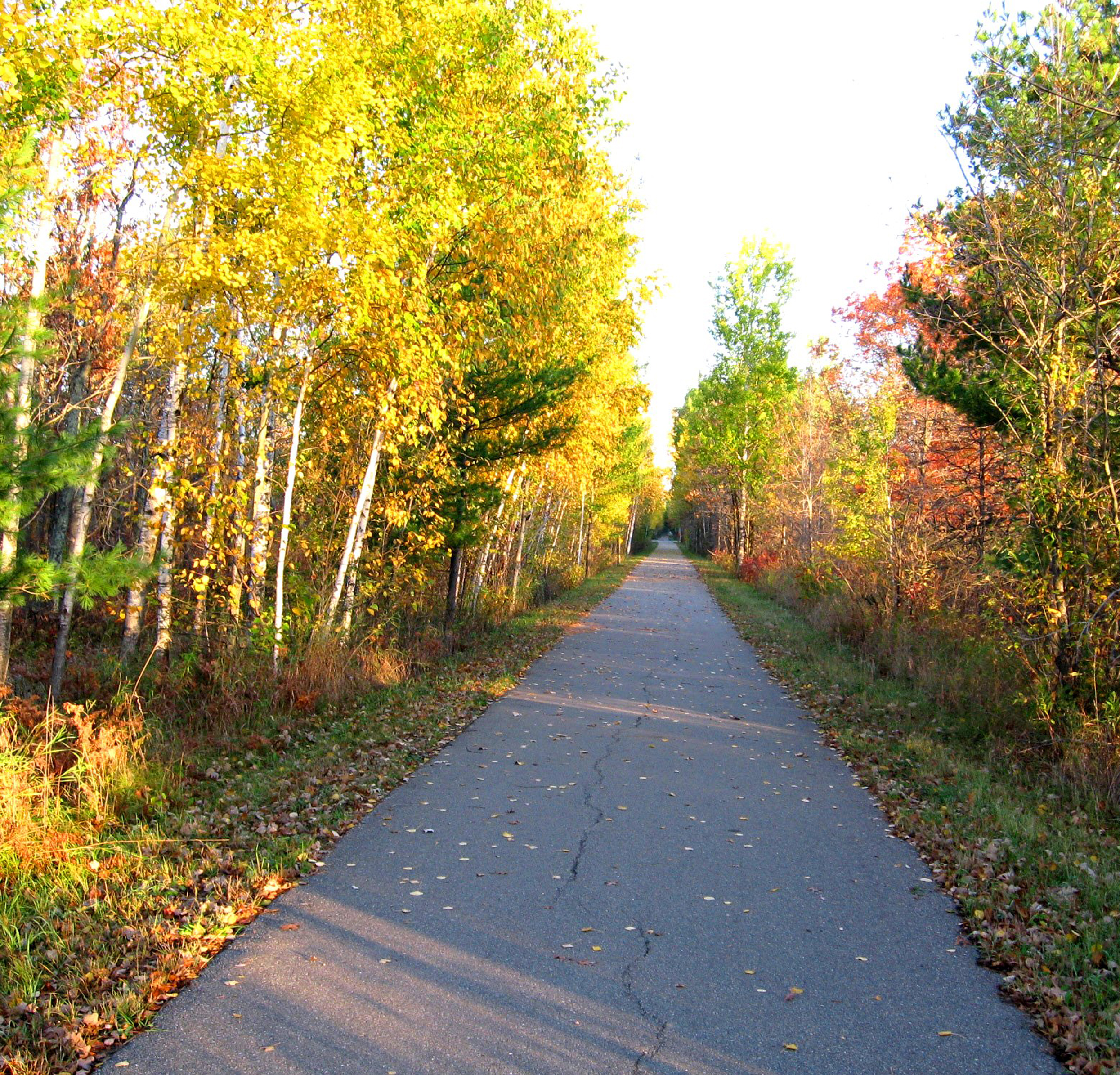
The Heartland Trail is a paved state trail located in north-central Minnesota which provides recreation and transportation for walkers, runner, bicycle users, snowmobilers, cross country skier, and other uses throughout the year. The currently-constructed Heartland Trail is a 49-mile paved shared use path that extends from Park Rapids to Cass Lake. The trail was constructed in 1976 from Park Rapids to Walker with the Walker to Cass Lake portion constructed in 2002.
In 2006 the Minnesota Legislature authorized the extension of the Heartland Trail from Park Rapids to Moorhead. Since that time efforts have been made to try and make this a reality. In Becker County a portion of the trail is now substantially complete from Detroit Lakes to Frazee (5 miles).
In Clay County, planning efforts began in 2014 which has resulted in several discussions with jurisdictions, the development of a preliminary alignment, as well as public/landowner meetings held in 2015. In addition to planning efforts in Clay County, a one-mile segment of what might be the future Heartland Trail was constructed in Glyndon in 2019 and a traffic signal with accommodations to include a trail was installed in Hawley, MN at US Hwy 10.
The objective of this study is to build off past planning efforts by proposing alignment alternatives and then detailing precise trail placement as part of each alignment alternative. In addition, public and stakeholder engagement will be a key component of this study, which will be used to help propose a proposed detailed alignment.
Project Resources
Project Contact Information
Dan Farnsworth
(701) 532-5106