MAPS
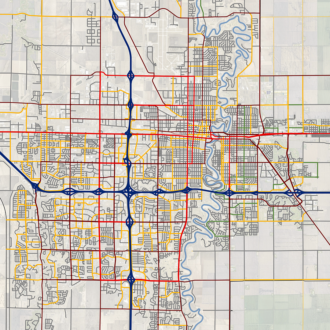
Area Maps
Juristiction Maps
Additional Maps
(701) 532-5110
Fargo-Moorhead Metropolitan Council of Governments
One 2nd Street N, Suite 232
Fargo, ND 58102
Other Resources
The preparation of this document was funded in part by the United States Department of Transportation with funding administered through the North Dakota Department of Transportation, the Federal Highway Administration, and the Federal Transit Administration. Additional funding was provided by the Minnesota Department of Transportation and through local contributions from the governments of Fargo, West Fargo, Horace, and Cass County in North Dakota; and Moorhead, Dilworth, and Clay County in Minnesota. The United States Government and the States of North Dakota and Minnesota assume no liability for the contents or use thereof.
This document does not constitute a standard, specification, or regulation. The United States Government, the States of North Dakota and Minnesota, and the Fargo-Moorhead Metropolitan Council of Governments do not endorse products or manufacturers. Trade or manufacturers' names may appear herein only because they are considered essential to the objective of this document.
Certain PDF content on this website may be exempt from WCAG 2.1 Level AA accessibility requirements under applicable regulatory provisions governing preexisting electronic documents. If you need assistance accessing materials, please email metrocog@fmmetrocog.org.